

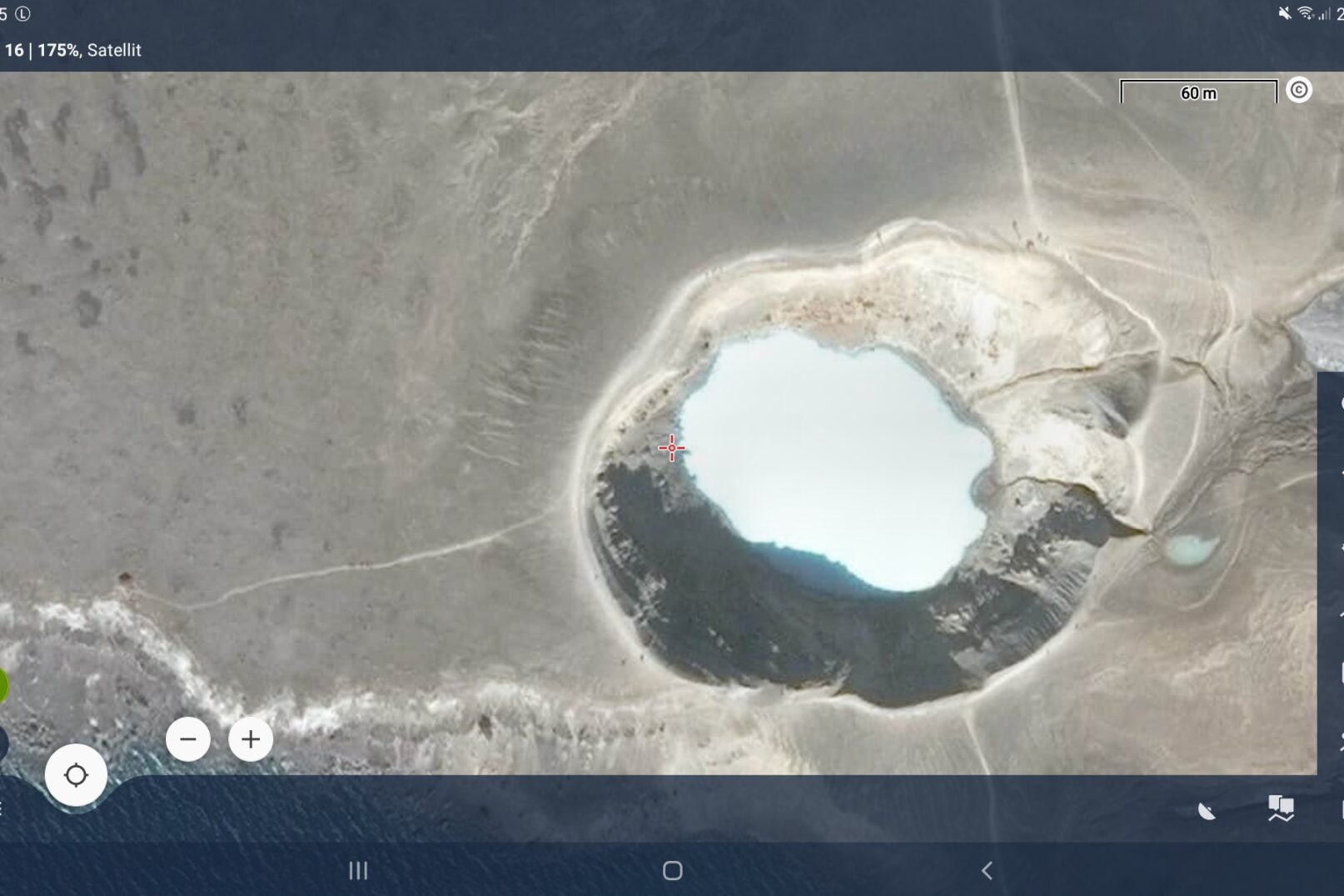

Anyone using Locus Map could, in the past, still use Google Maps satellite maps. But the Locus Map Tweak app that made that possible hasn’t been offered for a long time. Alternatives to it unfortunately didn’t cover every corner of the earth. Now the makers of Locus Map have provided a remedy.
Numerous navigation apps are based on the Google Maps API (Application Programming Interface, an interface for exchanging data between programs). This is neither free nor cheap to use. For a while people made do with regional providers of satellite imagery, such as Basemap.at or IGN for France. But their coverage was simply not global.
The new licensing model helps with the Locus Map satellite maps
Certainly partly responsible for the cooperation with a new partner is Locus Map’s new licensing model, introduced with version 4. From now on, the full power of Locus Map can be obtained in a monthly subscription. Very cheap for the individual, but in total this puts the whole development on economically secure footing and has now also made this step possible. That’s why these maps are only available with the Premium Gold subscription from Locus Map version 4.7.0.
The new partner offers satellite and aerial imagery with global coverage from HERE, Maxar and Eurographics.
Online and cached
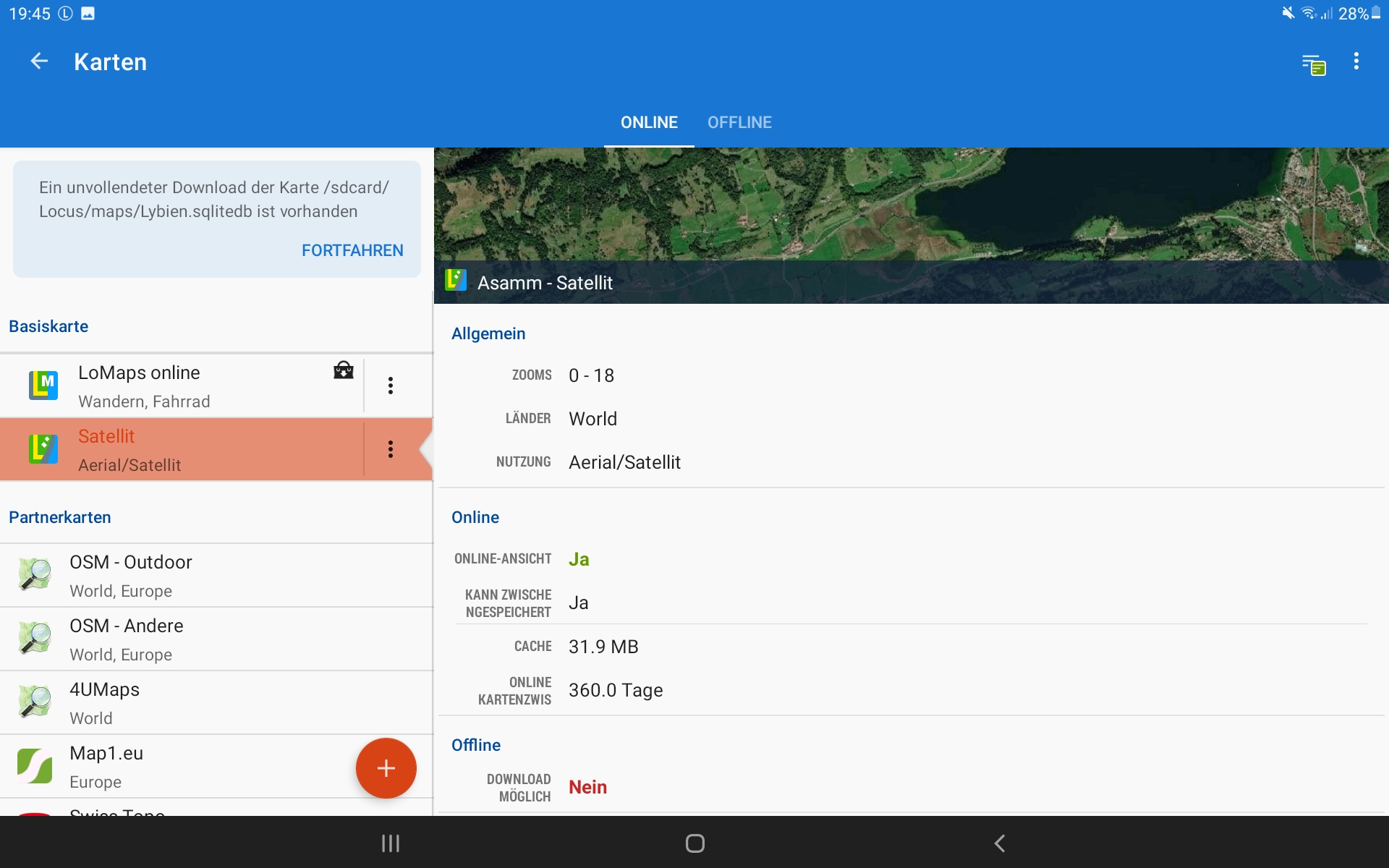
Currently, the satellite maps can be selected as online maps in the Locus Map map manager and kept in the cache for one year. The zoom levels go from 1 to 18. So every map view, at every level you have looked at, stays stored on the device for one year.
You’ll find more details on the new version here: Locus Map blog.