

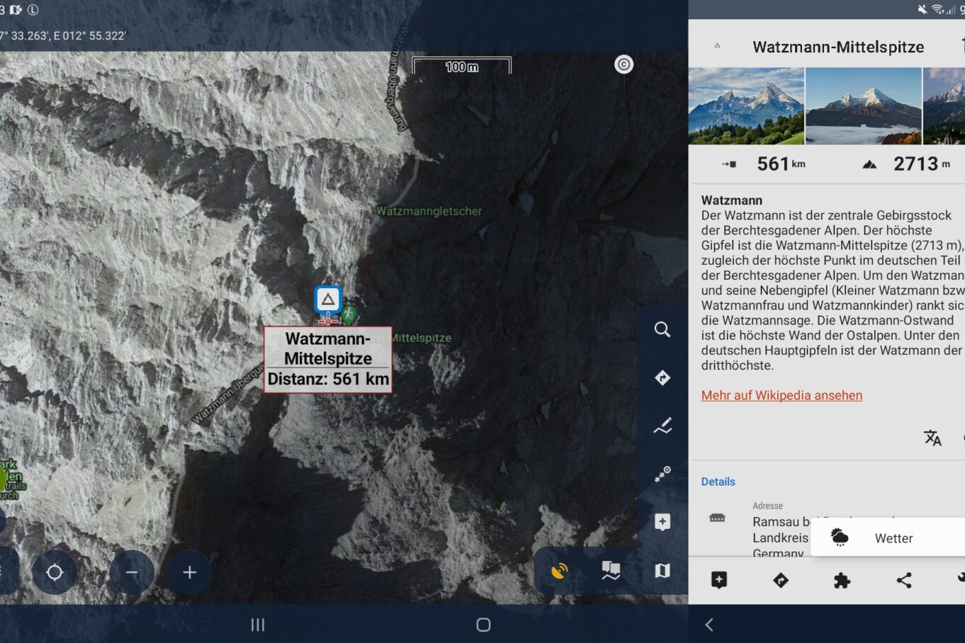

Development of Locus Map was actually meant to end with version 3. Fortunately, Michal and his team decided otherwise and carried on. That led to version 4, which is being developed continuously. Now there has been another update, to version 4.14.2.
Locus Map is a fully-grown navigation app, our favourite and a real benchmark among all navigation apps. It offers numerous different maps and map types and is packed with useful functions for many activities. Best of all, you can lay out the dashboard (map view) however you like and place all the functions that matter to you directly on the dashboard. The design and interface are fresh and exemplary. The manual also deserves a really big compliment and always follows the icons in the app. The descriptions range from short, punchy explanations to detailed ones, including special options and functions available for interested users and enthusiasts.
Weather data
Weather data has long been available in Locus Map with a Silver or Gold subscription. What’s new now is the data provider, because the old service DarkSky was taken over by Apple in 2020, and at the end of 2022 Apple shut down the services, the website and the interface to the data. Now Locus Map draws on OpenWeatherMap. A 16-day forecast is now available, and the current weather and a forecast can be shown for every waypoint, LoPoint and track. A detailed 6-day forecast is available in three-hourly intervals.
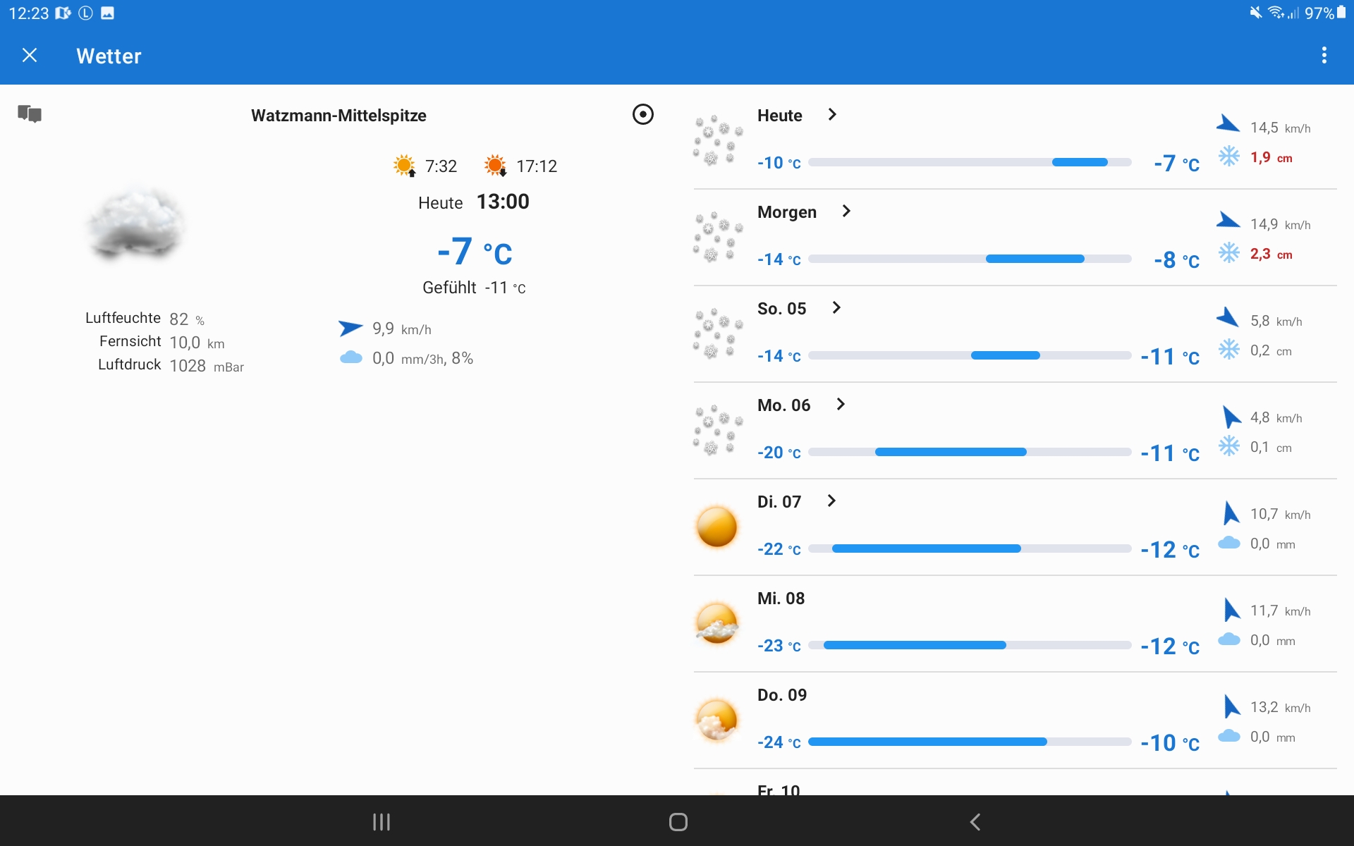
Picture icons are shown for a quick overview. Anyone who needs more detail can access the more precise data. This includes the actual and the perceived temperature, wind strength and direction, air pressure, visibility, relative humidity and the amount and type of precipitation. The course of the weather over a day is shown as a graph.
Route data and surface
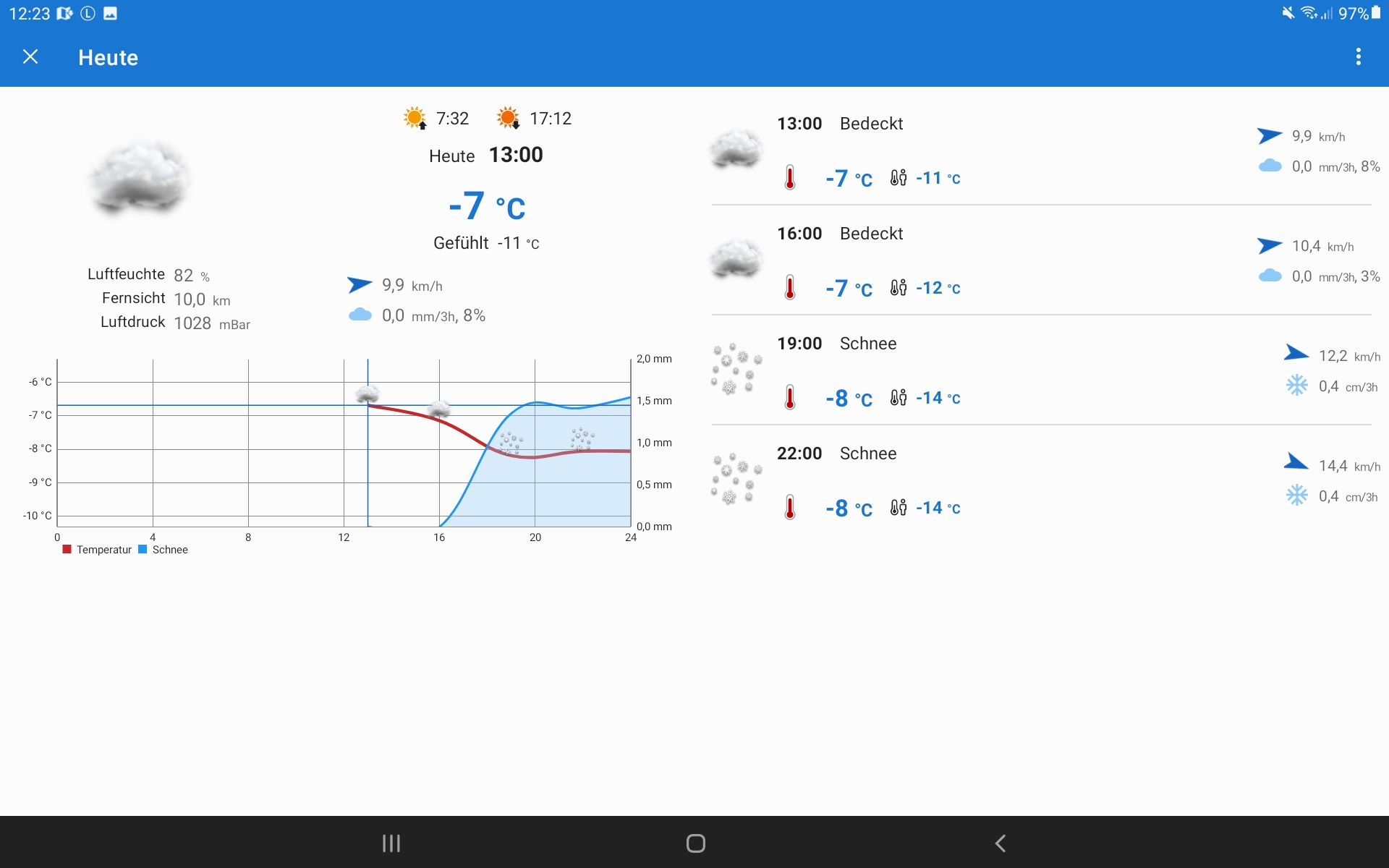
Anyone who wants to follow existing tracks and doesn’t want to (or can’t) go straight across country as the crow flies should use the offline LoRouter. It’s a routing engine that calculates the route along tracks for you. The advantage is that the surface is shown at the same time. Are you moving on tarmac, gravel or natural ground? Of course, this only works if this information has also been recorded in the OSM data (OpenStreetMap).
Converting tracks into turn-by-turn routes
In our navigation courses we are often asked whether turn-by-turn navigation is possible with tracks. No, of course not to begin with. A track is by definition the recording of a path, wherever it leads, and so there are no turn instructions, let alone announcements. For that you need appropriate route objects at the right points, with a suitable announcement stored, e.g. for a right turn the announcement “turn right”.
With Locus Map, however, it is possible to convert a track into turn-by-turn navigation. There are two ways to do this. One uses the track for an exact, or at least similar, recalculation of the route using the Locus online or offline routing engine. Because this is tied to routable ways depending on the profile (from “walking” through “cross-country” to “car”), the course of the track can change, but appropriate objects are inserted that later allow turn-by-turn navigation with announcements.
It’s a little more work to add these objects yourself. But then the track can be left 100% as it was. You simply insert the appropriate announcement objects into the track yourself.
Either way, you also get the surface shown for the route, as mentioned above.

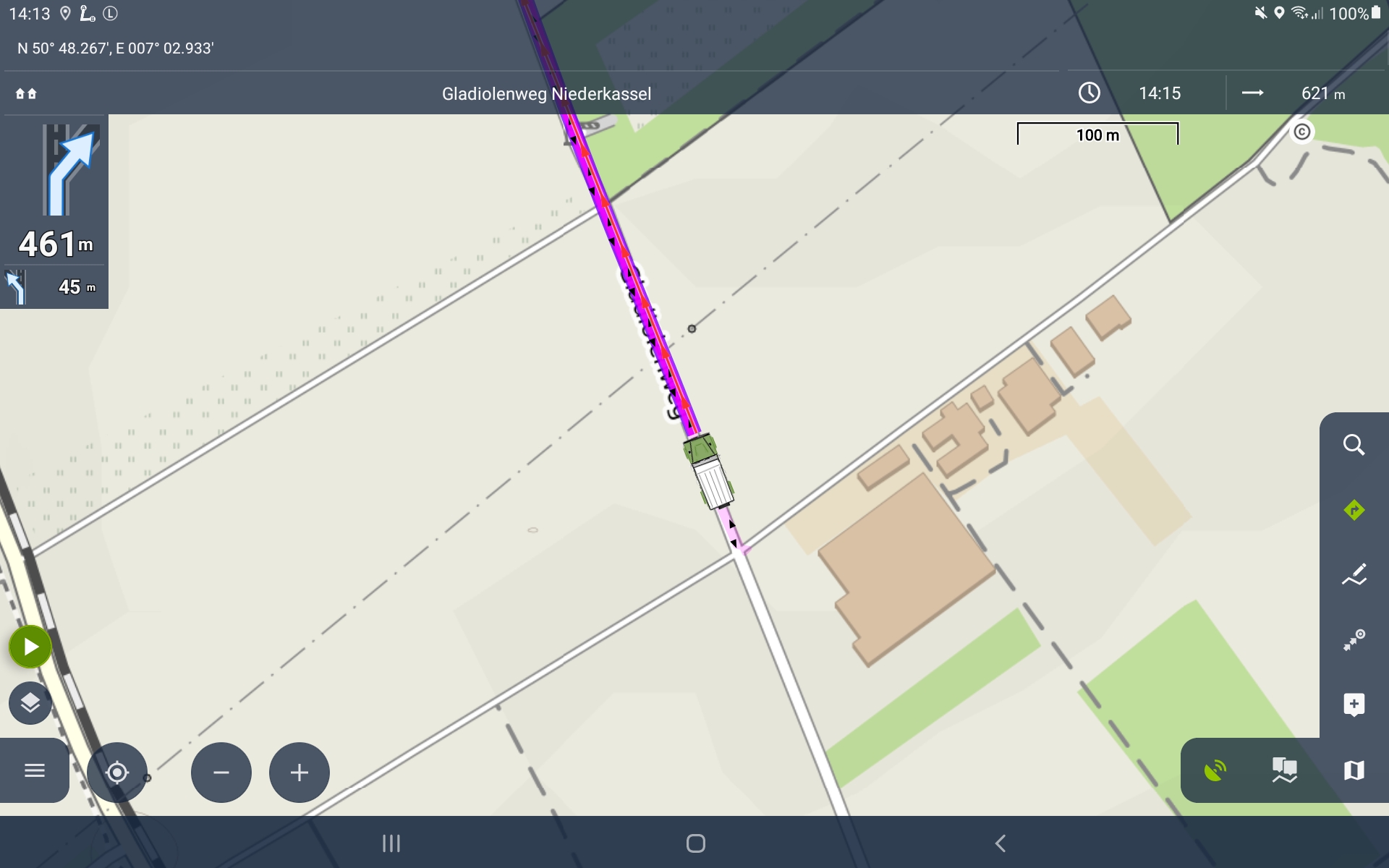

Did you already know about the individual profiles for turn-by-turn navigation?
For different activities such as walking, mountain biking, 4×4 or road, you can change some parameters in Locus Map for the display during turn-by-turn navigation. For example, whether your position symbol should be shifted downwards or whether the map should rotate. You’ll know both from turn-by-turn road navigation.
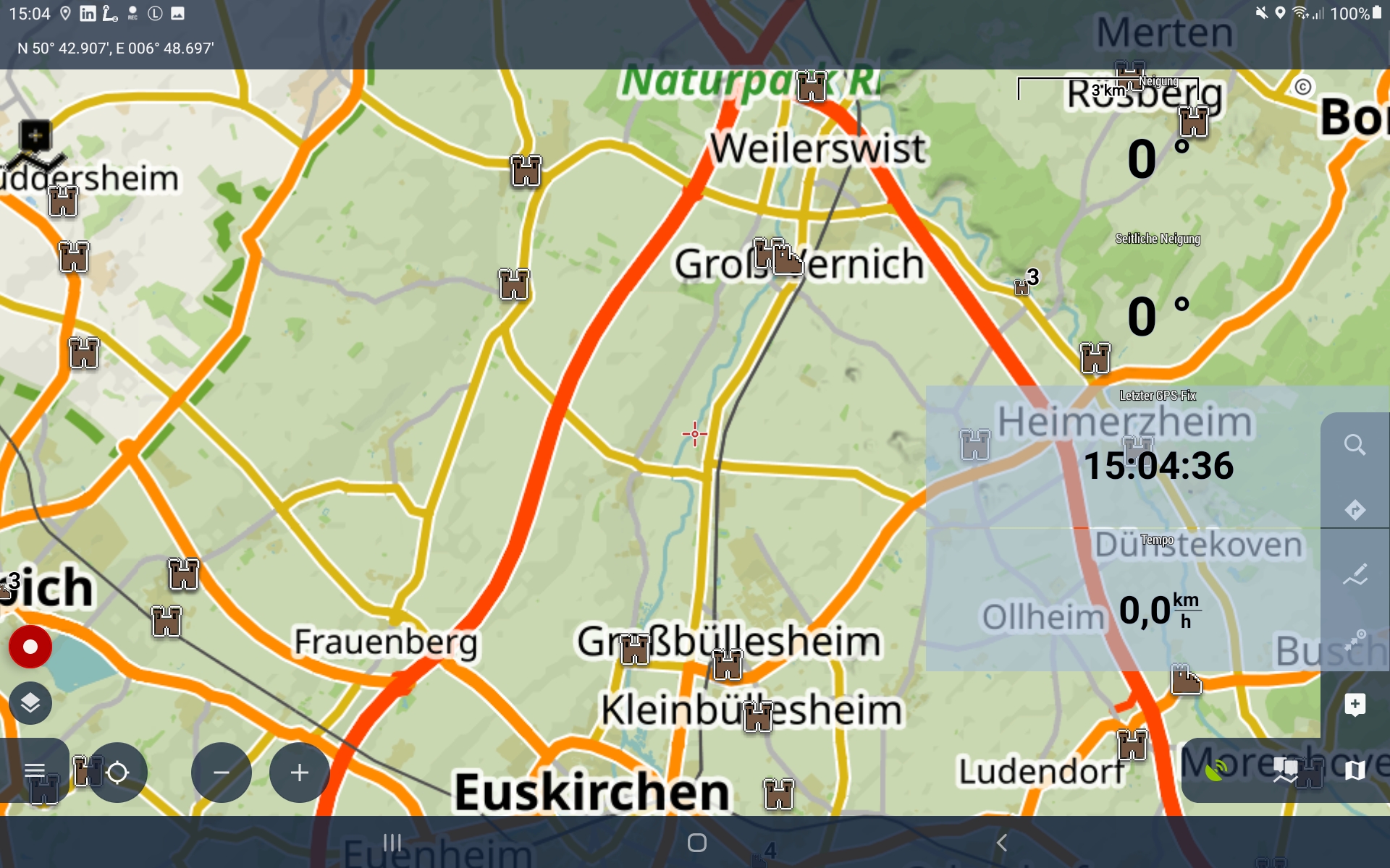
But very interesting too is the option to show a different dashboard while navigating, to suit the activity. The dashboard tool lets you place displays and functions on the dashboard for different purposes. That’s particularly interesting for competitions, but also for other activities. Locus Map also supports you to the full in the sports field, if you connect additional sensors (pulse, heart rate, etc.), for example. That way you can get the very most out of Locus Map.
w3w addresses
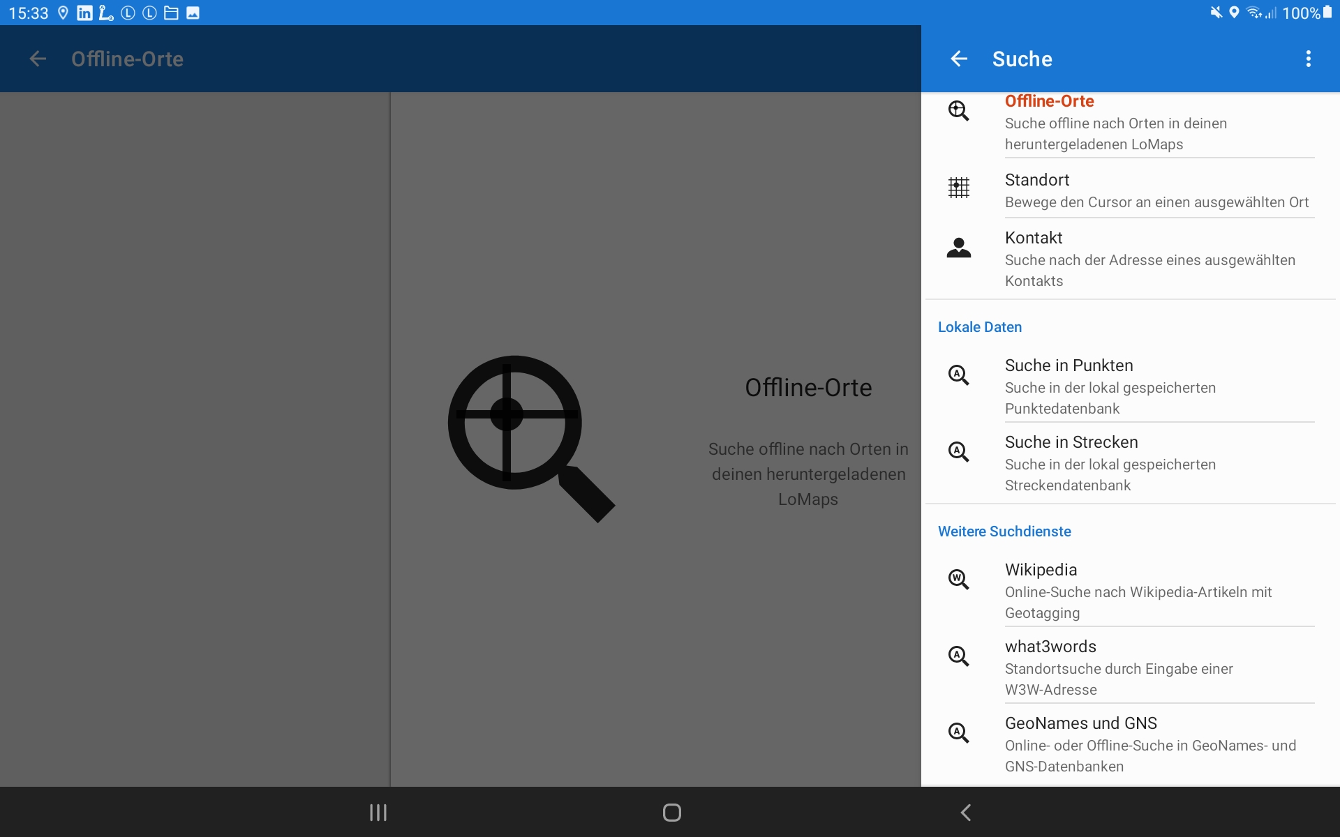
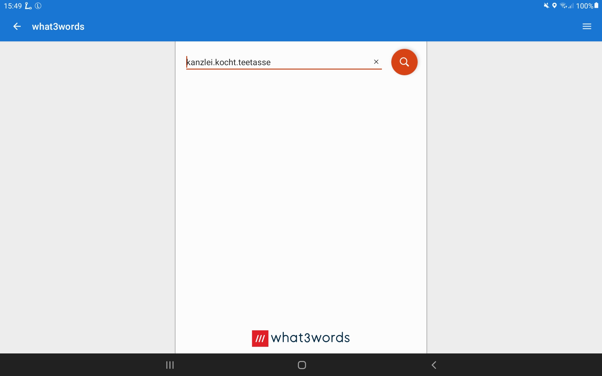
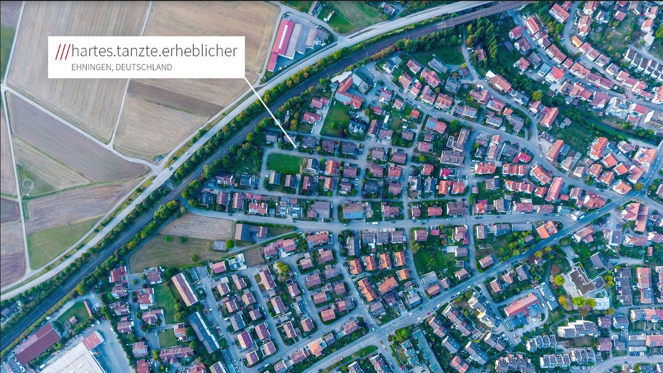
Locus Map supports so-called what3words addresses. This is a relatively new system for finding addresses and places worldwide. The British company what3words has divided the whole world into 3×3 metre squares and randomly assigned each one three words that don’t change. Locus supports searching for them in several languages. For example, you’ll find the new address of the Matsch&Piste shop at ///kanzlei.kocht.teetasse. Give it a try!
You can of course find out more about Locus Map from the makers: www.locusmap.app.