Many of you carry a smartphone or tablet on trips for navigation. Besides pure navigation, there are other useful applications and numerous handy off-road travel apps for it.
We’ve had a look in our smartphones and tablets and gathered the apps we use most. We’ve stuck to the apps besides pure navigation here. Here’s our overview.
Travel information and safety
Knowledge gives you an advantage. It’s always good to know what’s currently going on in your travel country. Even though no one wants it and it’ll surely never be a topic for most, anyone can end up in a situation where help is needed. The following two apps help you with that.
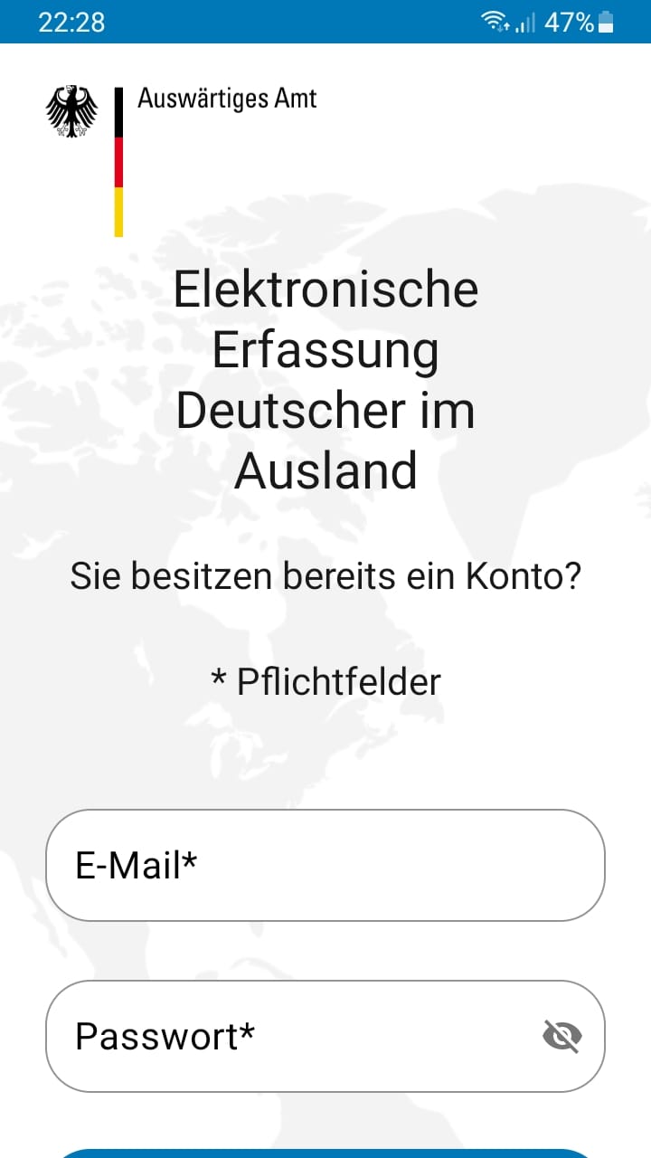
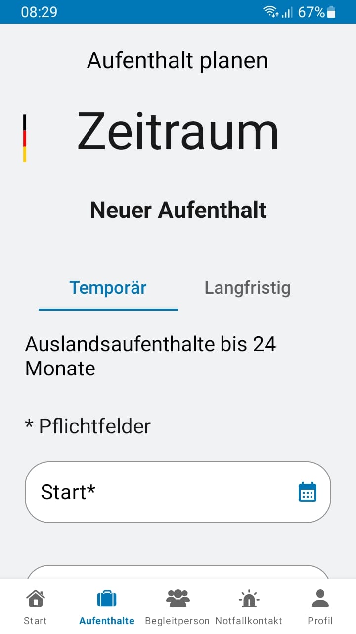
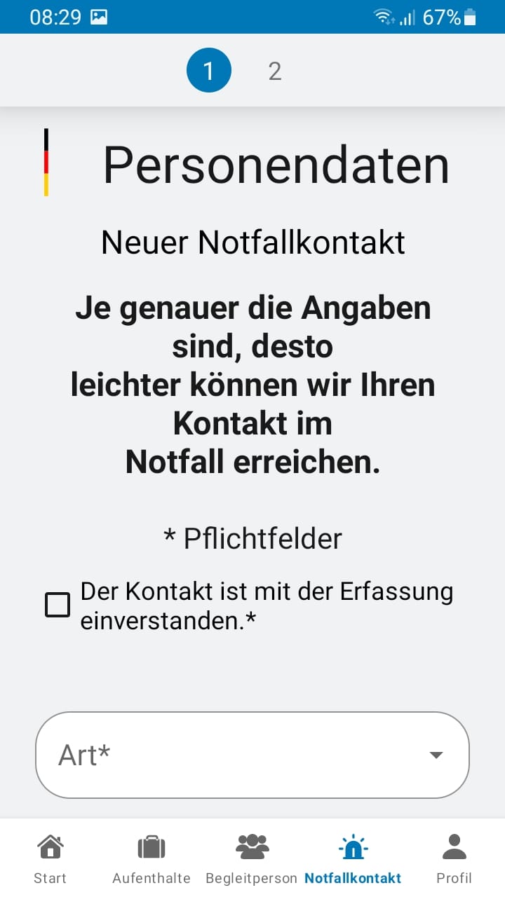
ELEFAND app
The ELEFAND system of the German Federal Foreign Office has been around for many years and is surely known to some of you from the Covid period. The crisis-preparedness list has also been available as an app since last year. With it you can enter your travel data more easily and keep it up to date, as it was always a bit of a chore having to log in to the website first to update places or routes. ELEFAND, by the way, stands for “Electronic Registration of Germans Abroad”. The list serves to locate and contact people in an emergency or crisis and help them better (e.g. behaviour tips in crisis situations or evacuations). If you have qualifications and skills that can become important and useful on the ground in such a case, you can store these in your ELEFAND profile too.
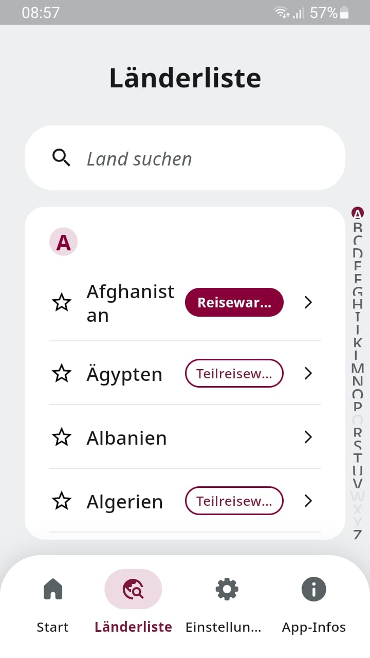
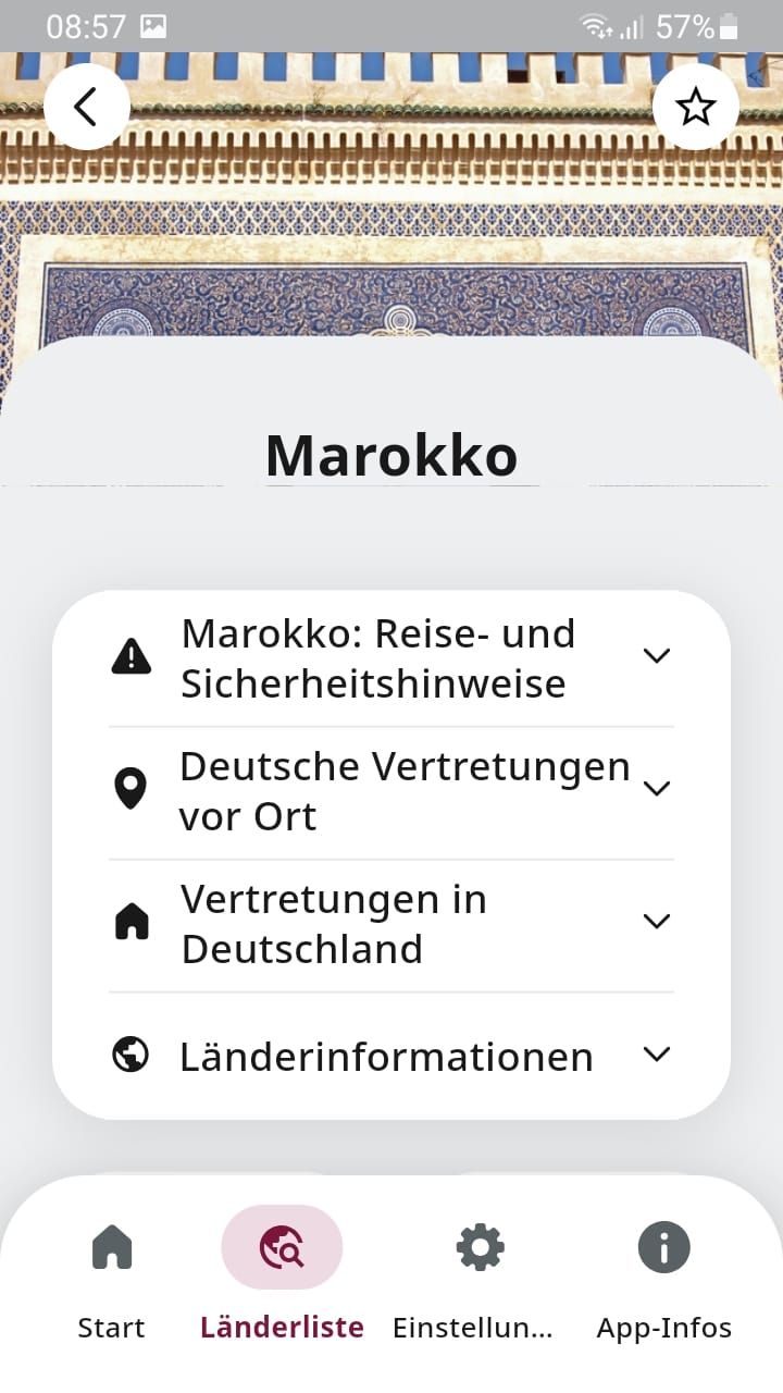
Sicher Reisen app
You probably know the travel and safety advice per country on the pages of the Federal Foreign Office. There’s a handy app for that too. The Sicher Reisen app from the Federal Foreign Office with the current travel and safety advice. You can configure the app so it accesses your current location and shows the information relevant to that location right away. The usual search by country is of course possible too.

Roads and waypoints
Travel involves roads and tracks, and it’s sensible to know what state they’re in. Are there jams or weather disruptions? The Scandinavian countries in particular are in focus here, because there, especially in winter, there are weather-related closures. But in the rest of Europe too, jam reports or information on closed roads help.
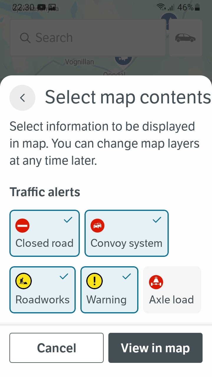
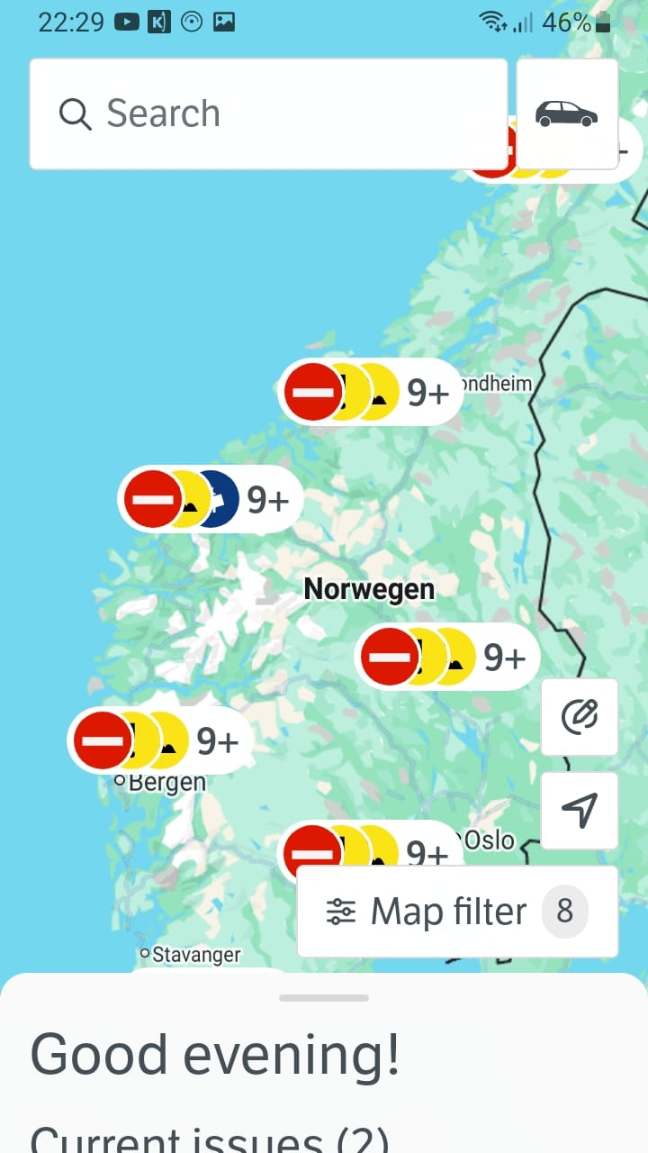
Statens Vegvesen Traffic app
Those of you who’ve been out in Norway in winter know the very good information on road conditions and any closures on the route, provided by the Norwegian authority for building and maintaining the so-called national roads. There’s an app for it too, the Statens Vegvesen traffic app.
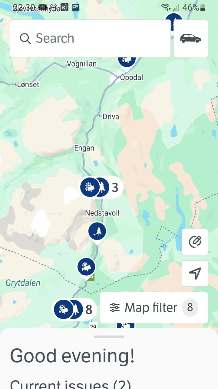
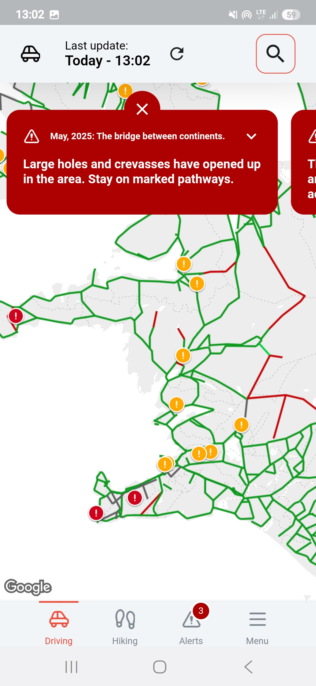
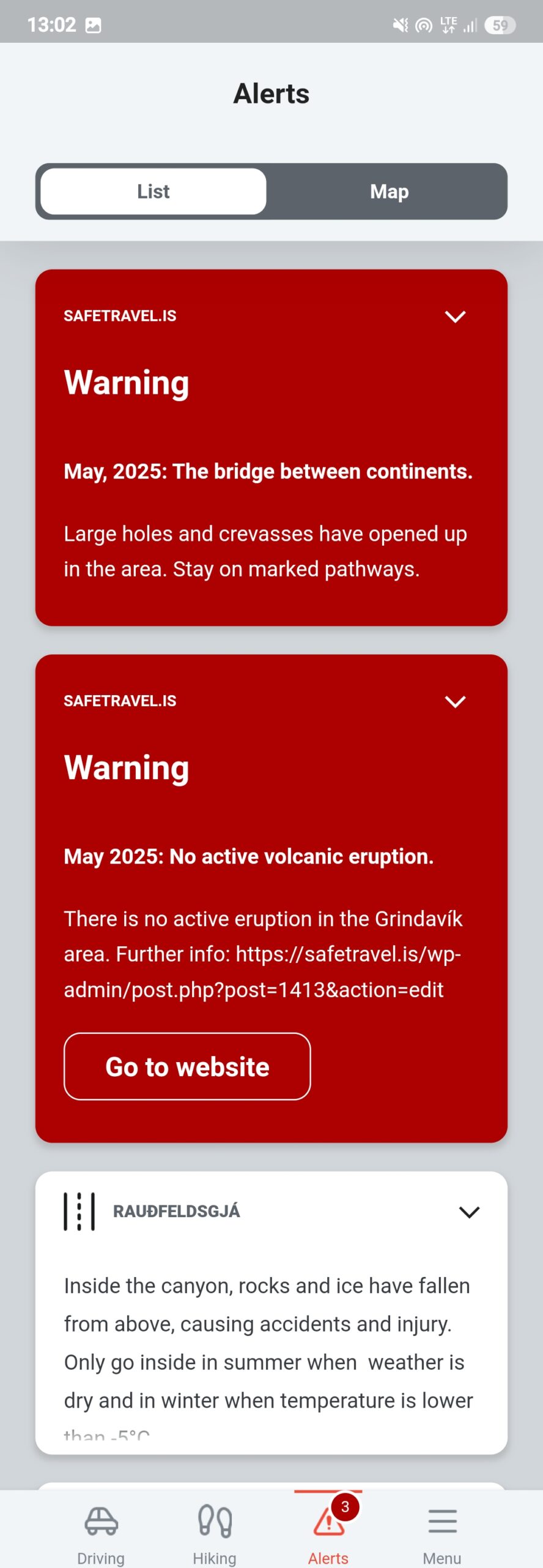
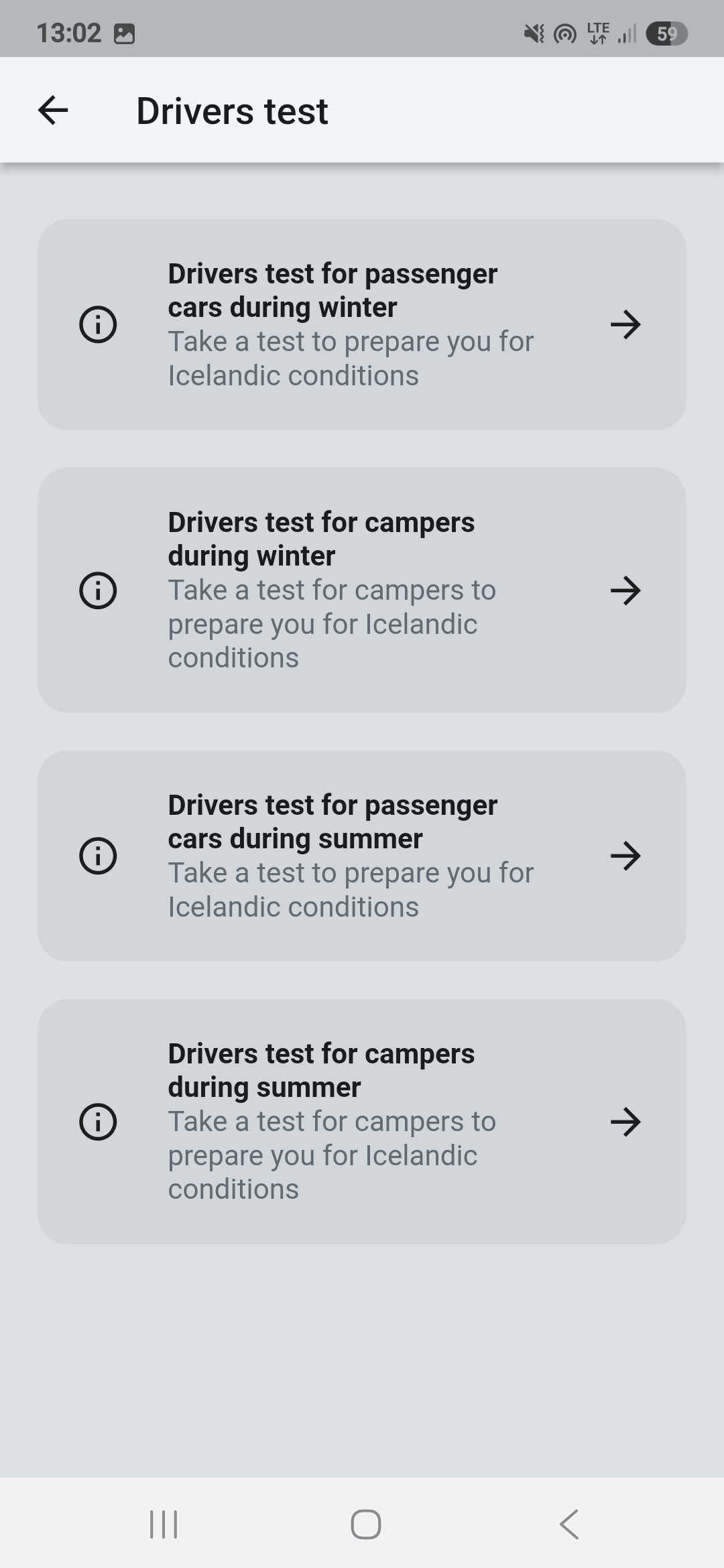
Exclusive, but important, for Iceland: Safe Travel
Iceland is special again. With the many wild but official tracks in the Icelandic highlands, the weather and the special tracks, some only allowed for 4x4s, a road-condition app is highly recommended. The app for Iceland is Safe Travel. It’s designed for drivers and hikers. The latest data on problems and obstacles of all kinds in Iceland’s road network is shown and constantly updated. There’s also a driver test that quizzes you on the most important things to bear in mind and so reminds you of everything.
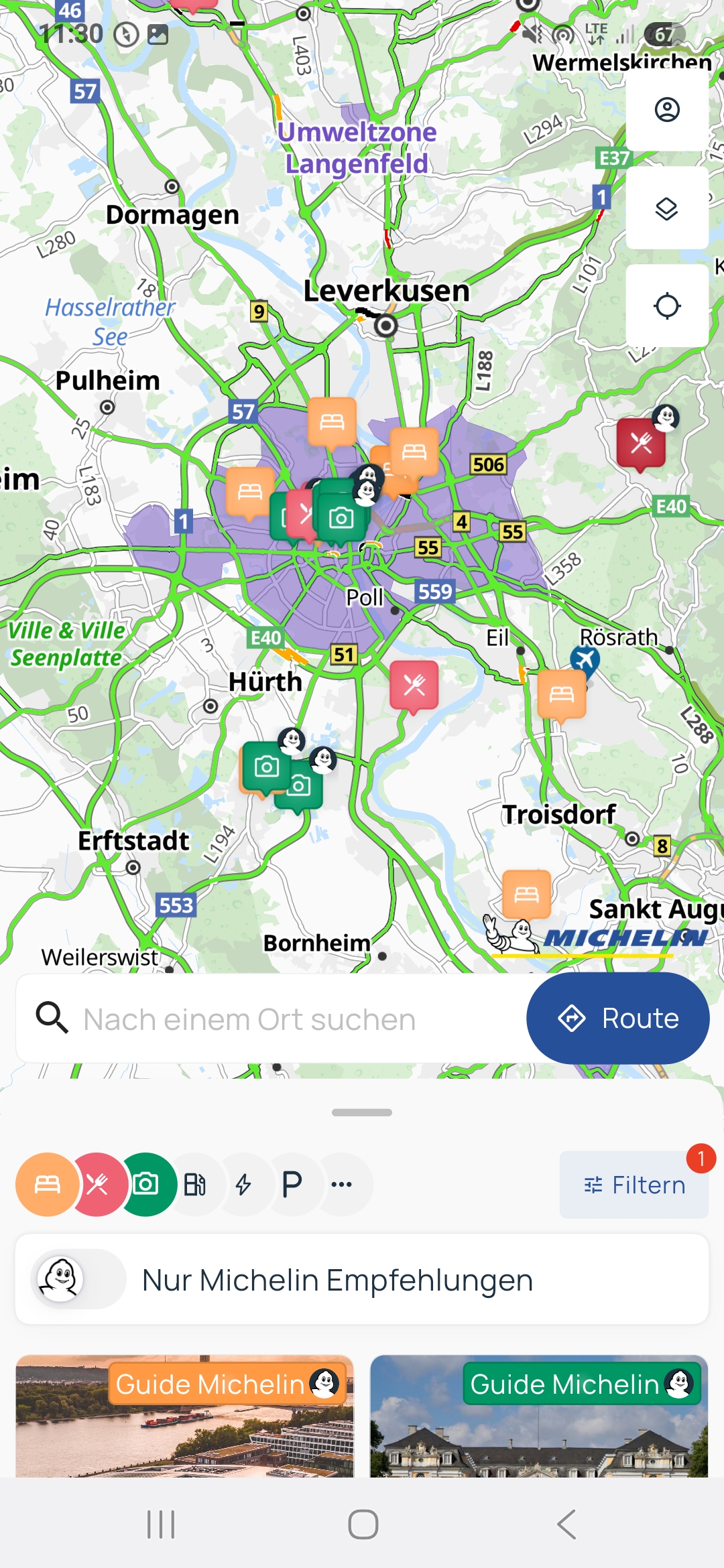
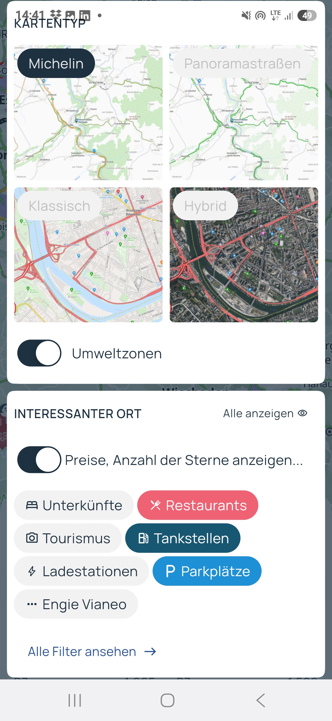
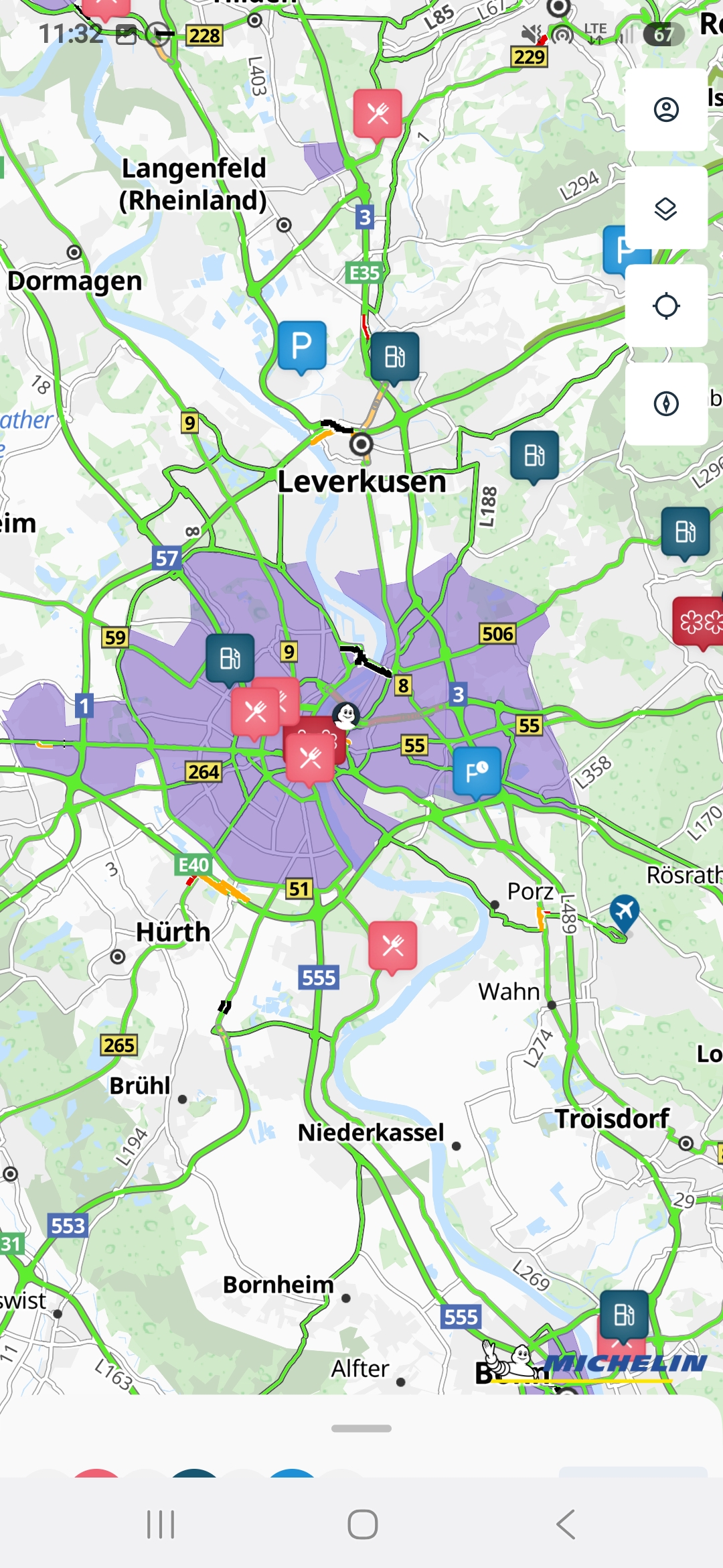
Via Michelin app
Michelin is known not only for tyres and gourmet guides but also for excellent maps. So it’s natural to offer an app too. The Via Michelin app shows you the road condition and low-emission zones in real time. Is traffic flowing, slowing or are there closures? The countries covered are Great Britain, France, Italy, Spain, Portugal, the Netherlands, Germany, Belgium, Switzerland, Poland, Turkey, Ireland, Sweden, Finland, Norway, the Czech Republic, Austria, Luxembourg and Denmark.
For the other countries the road-condition function isn’t available, but the other extra functions are. These include a route planner, tips on places to stay, restaurants of course, which you can pick with various filter criteria, or a fuel-cost calculator.
Choose between four different map types and which information should be shown on your display.
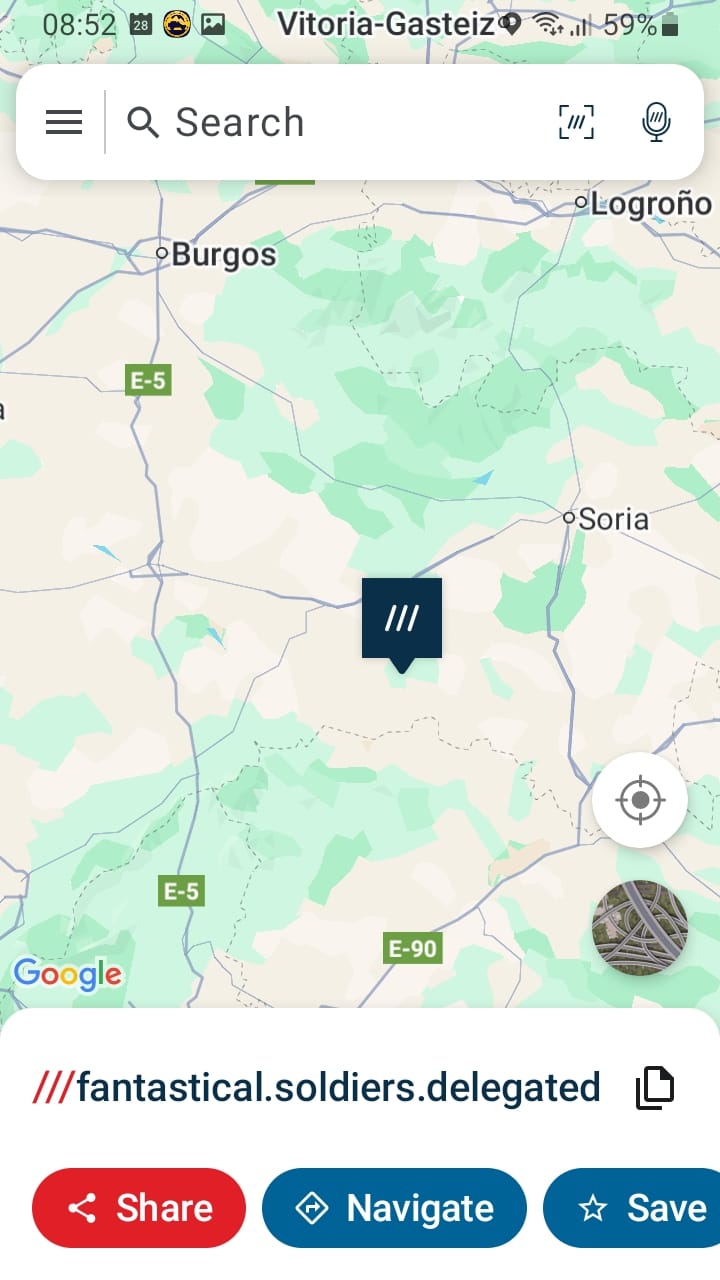
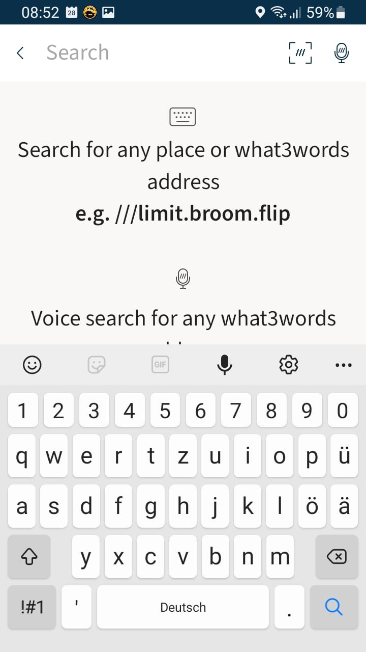
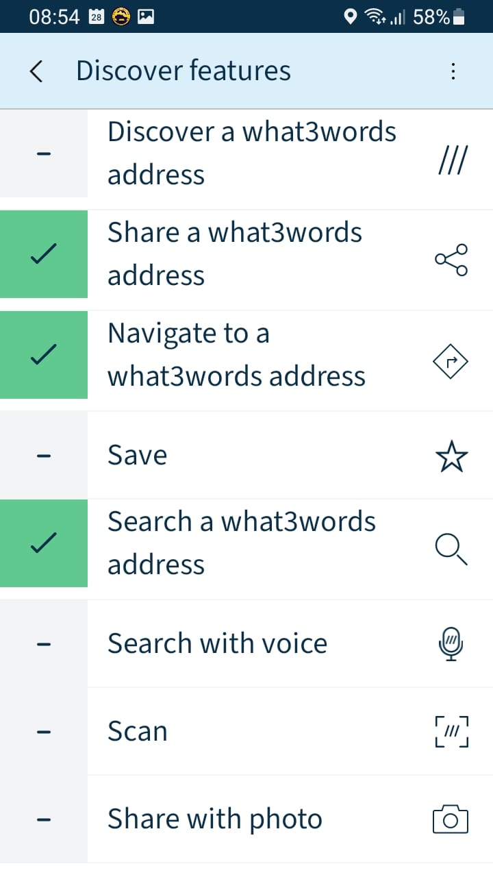
what3words app
what3words is a clever geocode system that makes identifying and describing places on Earth easier. The what3words geocode system divides the Earth’s surface into 3 x 3 metre square tiles. Each of these tiles has a permanently fixed code. It consists of three words, hence the name of the system. So any place on the Earth’s surface can be described with a resolution of 3 x 3 metres. In this article we showed you exactly how it works and how you can use what3words on an off-road tour. what3words is now built into many systems, and what3words is also available as an app for the road.
iOverlander app
The iOverlander app will be familiar to many of you. It offers a large collection of waypoints and information on camping and other spots, hotels, guesthouses, fuel stations, workshops, supply and disposal options, attractions, medical care, customs and border formalities, consulates and embassies, vehicle insurance, shipping options and much more. Filter options, various map formats, ratings and offline functions round the app off. The language is English, so the information is accessible to a large circle of users. There’s now also a new version, iOverlander 2.0.


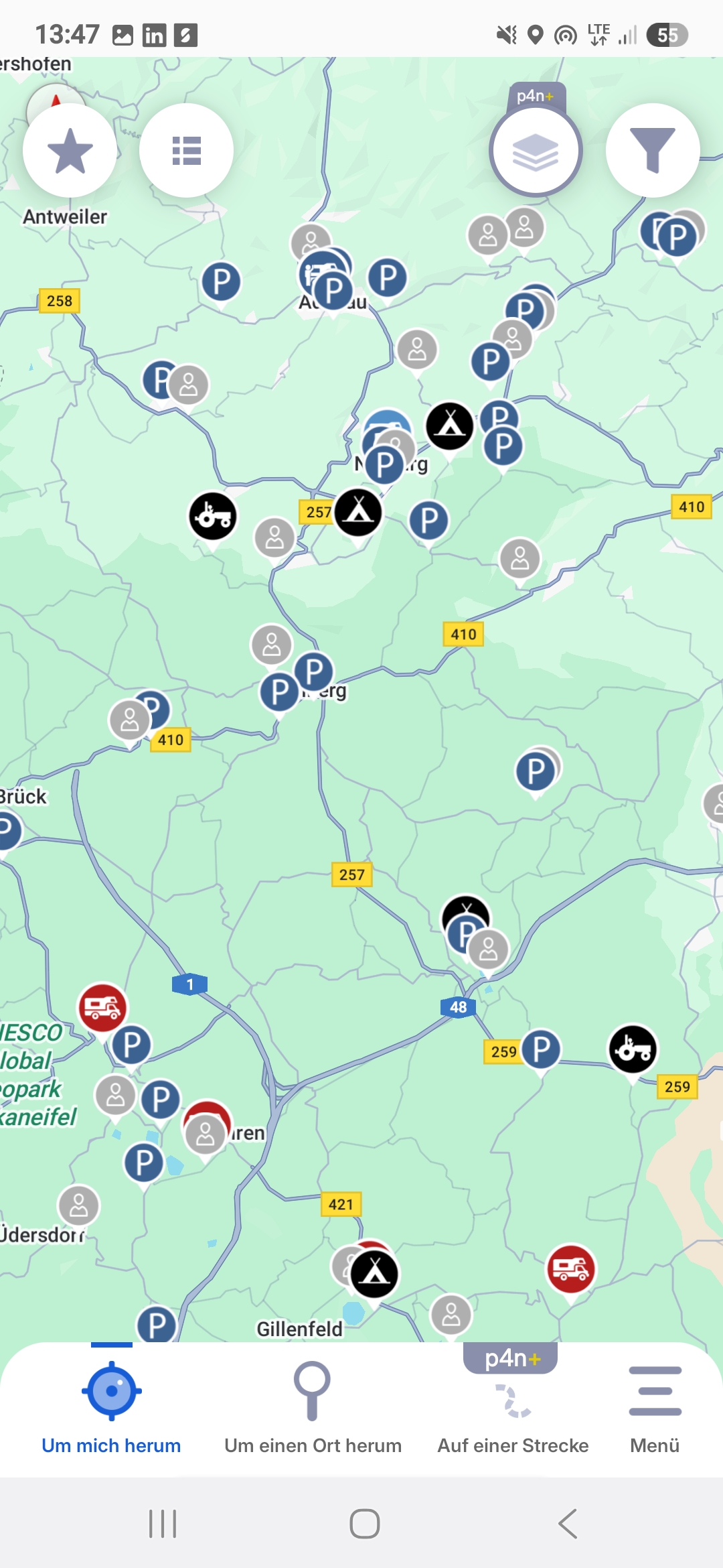
Park4Night
Park4Night is also a community-based project aimed above all at motorhome drivers and van travellers. Here you can search for camping spots and pitches nearby, along the route or via an overview map. Registered users can add spots and rate and comment on existing ones, and download the data for offline use without internet access.
Besides the most varied pitches, from the campsite to the free spot in nature, the usual services can be found. In addition, camping-relevant waypoints too, like disposal points for toilets, grey water or power sources, as well as activities like canoeing, fishing and so on. It’s worth setting up a paid account to get all the functions. The current price is 9.99 euro a year or 1.99 euro a month.

Translation
As soon as we travel to countries where we don’t get far, or only somewhat, with the common languages, translators are a great thing. You can do that conveniently by app too.
Google Translate app
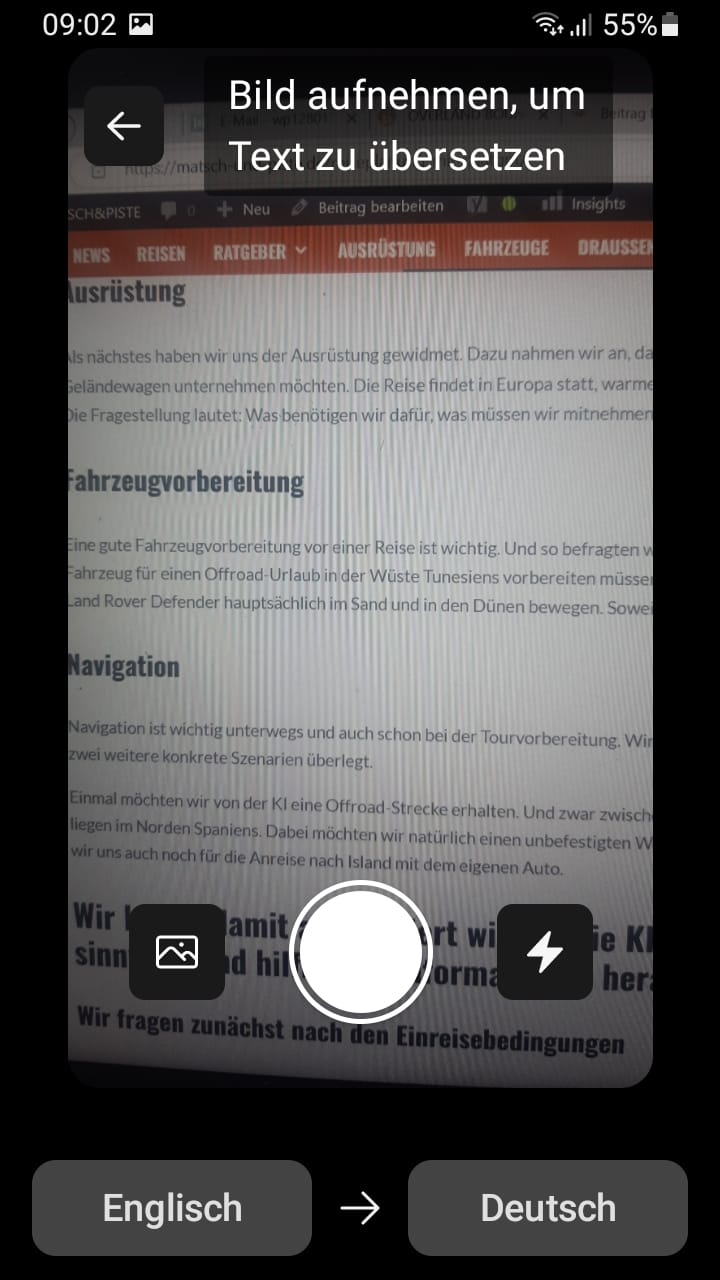
With the Google Translate app, for example. Especially interesting are the offline and real-time translation. Because often we have no mobile signal when we’re travelling. For offline translation you only have to download the relevant database beforehand. It’s available for many languages and you can actually hold a conversation with it by using the app as an interpreter, alternating with your conversation partner. And the real-time translation helps with the menu, for example, just photograph it with your smartphone and translate it, simple and handy.
DeepL Translate app
The popular online translator DeepL is available as an app too. This translator too, besides simple text translation, is fitted with extensive functions, like the speech-to-text or text-to-speech function, where you can listen to the text right away or speak it for translation. Photos and documents can be translated too, a road sign for example.

Climate and weather
Climate and weather are constant companions on trips and want researching well before a trip. But on the road too, the weather can get dangerous.
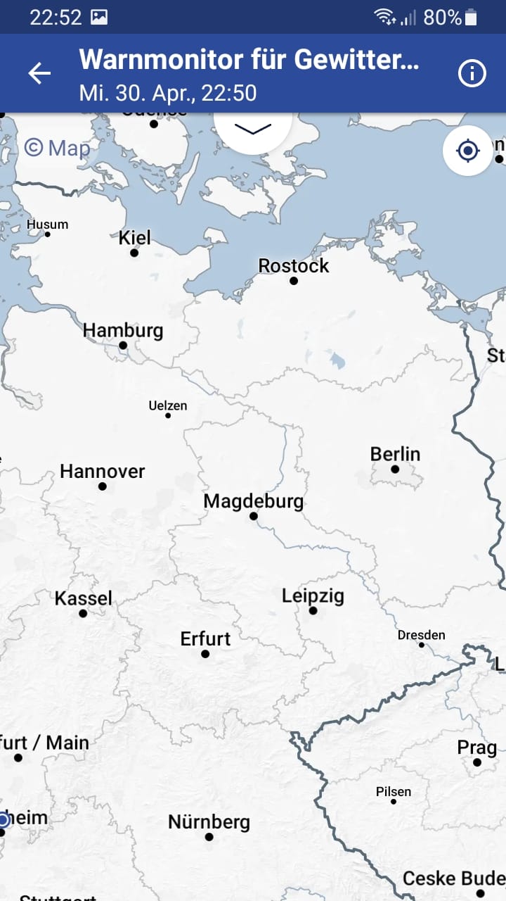
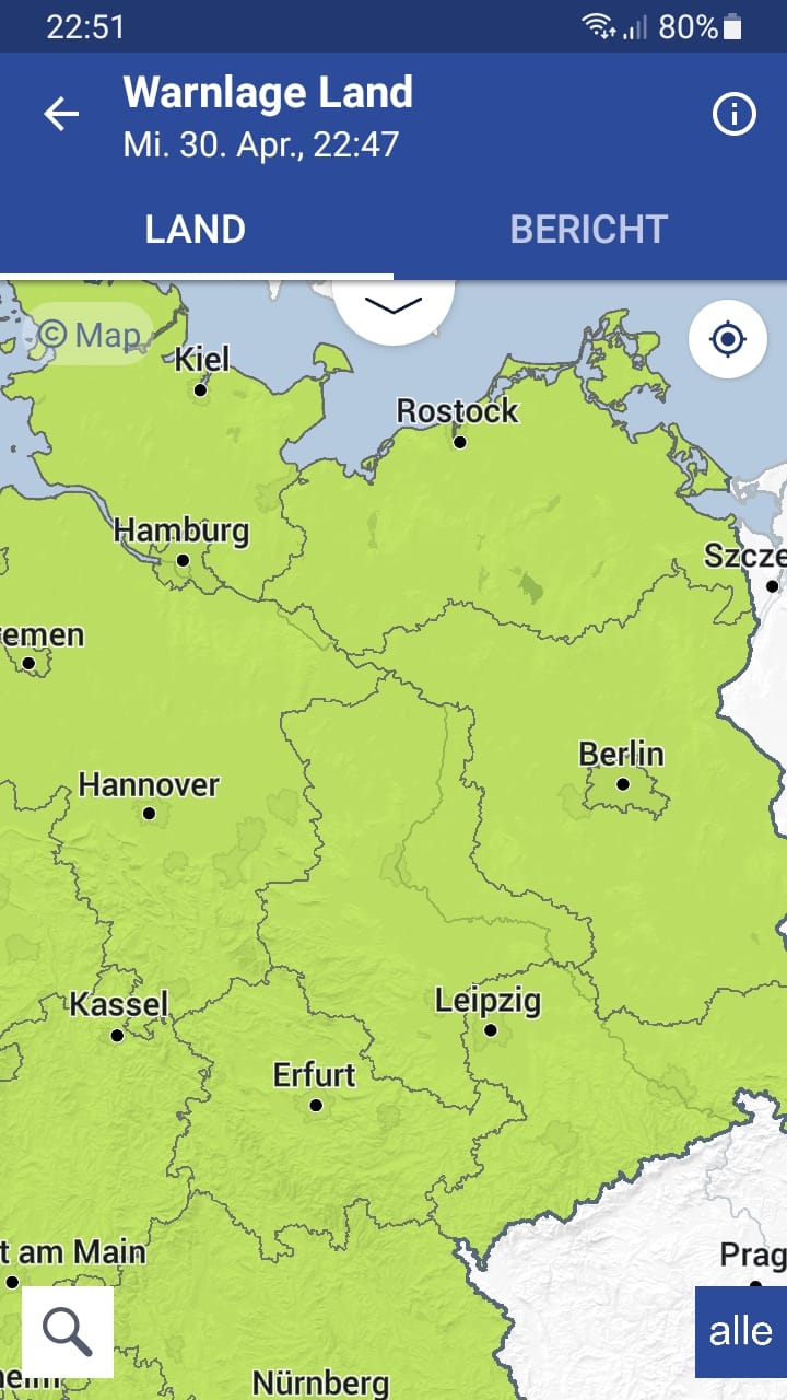
WarnWetter app
The WarnWetter app is from the German Weather Service. It’s limited to Germany, but delivers detailed information on the current (warning) weather situation. Here you can store locations to be warned of severe weather by push message. A handy thing on the road when camping, doing outdoor activities or off-roading.
Communication
Communication is the key to success, as the saying so aptly goes. And on the road too we want to communicate. Whether it’s about everyday things or emergency communication.
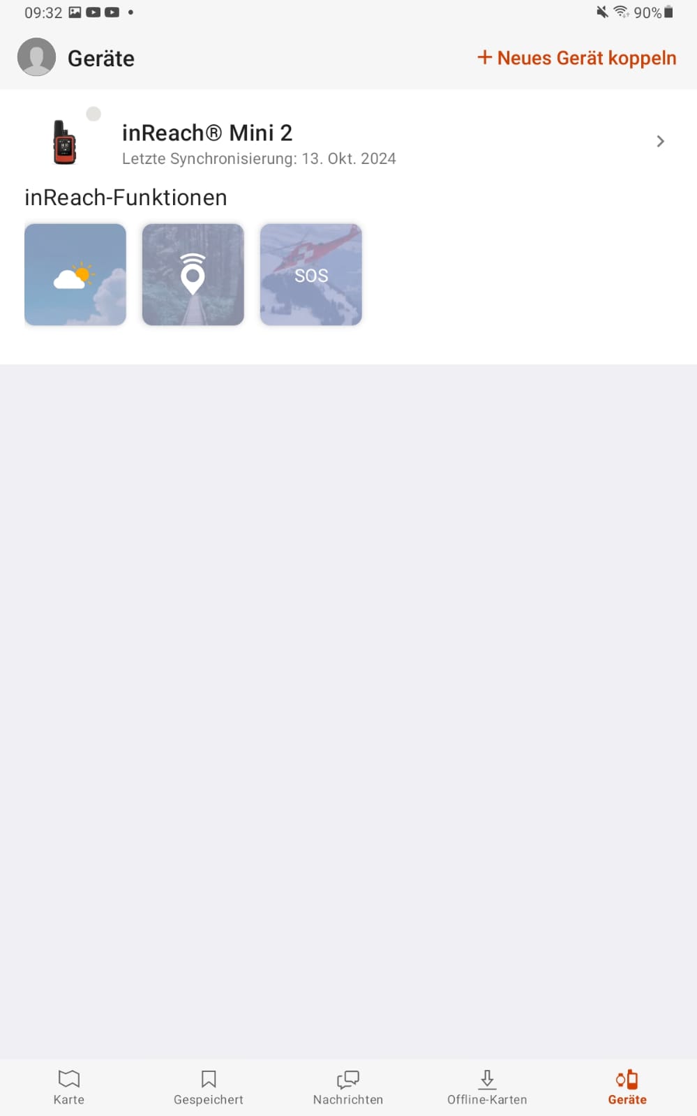
Garmin Explore app
In the navigation field there are many useful off-road travel apps. The Garmin Explore app you can use not only for many areas of navigation, but also to control an inReach device. Especially if you use an inReach Mini, operating it and, for example, writing messages on the small device can sometimes be a bit fiddly. Here the Garmin Explore app helps, where you can type messages as usual on your smartphone or tablet. The weather data received via an inReach can also be displayed well here.
Community and travel diary
Sometimes we want to let others share in our trip, or make contacts in the community of travellers and swap stories. There are useful off-road travel apps for that too.
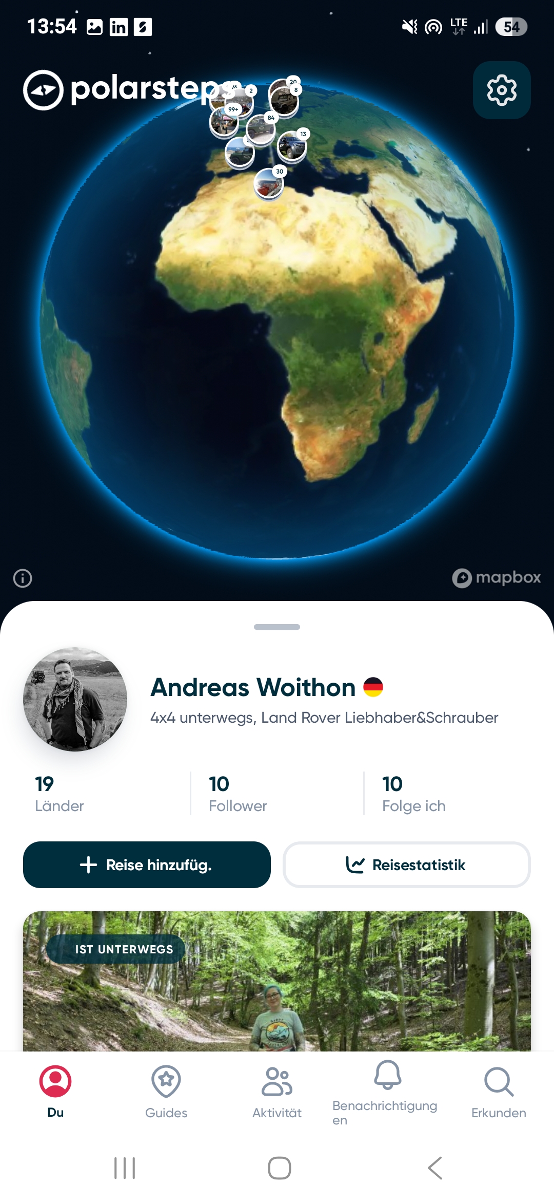
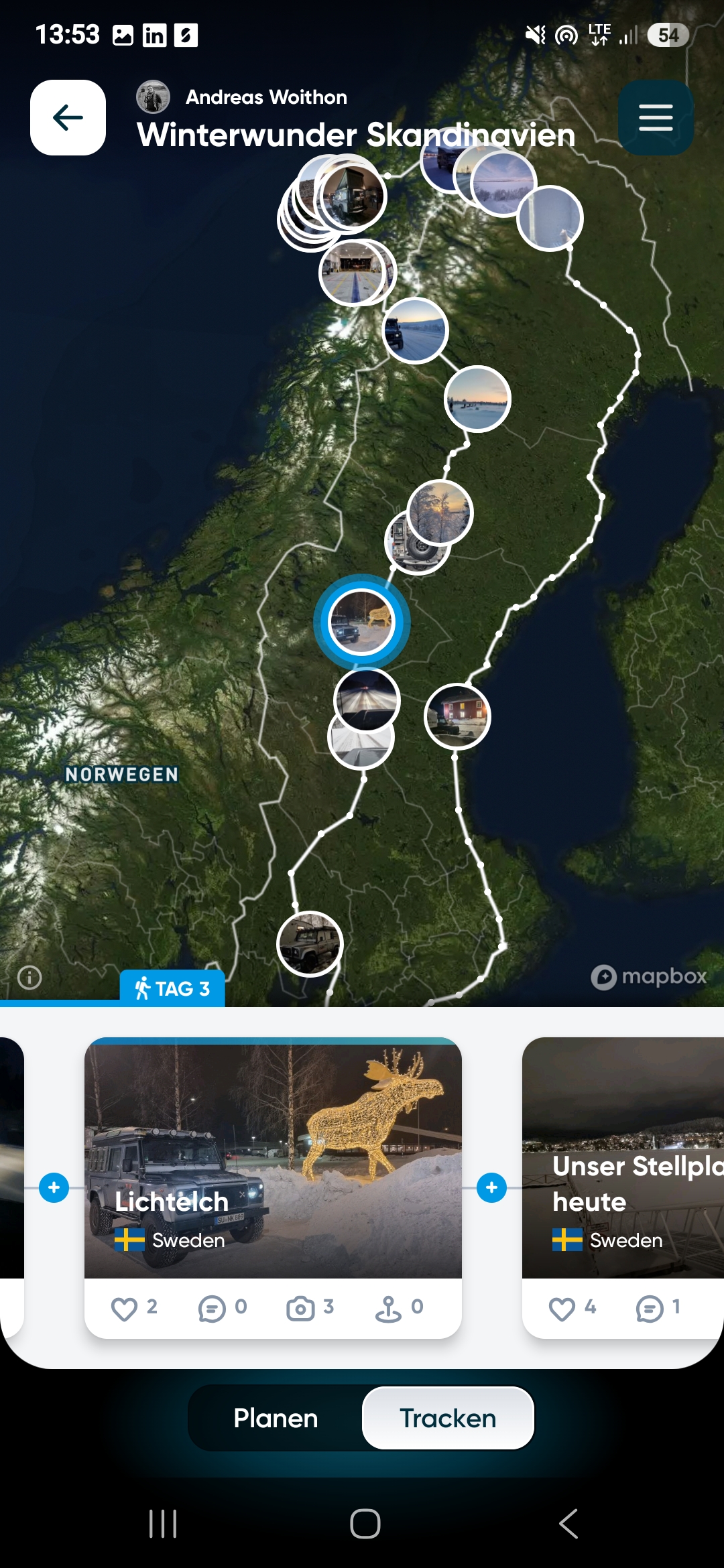
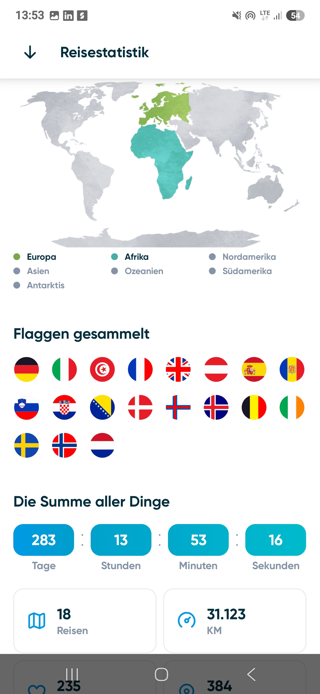
Polarsteps
You’re looking for a way to let friends and family share in your tour. Then Polarsteps might be something for you. With the app you can have your trip tracked to varying detail, add photos and notes. There are also extra functions like a trip-planning tool and more. At the end of a trip you can have all your travel points and photos printed into an album to keep as a memory or give as a gift. You can also embed the trip in your website or a blog.
Overland Bound One app
Overland Bound is a digital platform for adventure travel and a global community of overlanders passionate about vehicle-dependent travel. The Overland Bound One app offers waypoints, tracks and information for trip planning and serves to connect the community worldwide.


Trip planning
Even trip planning has moved on from the table with the paper map and the stack of travel books. Nothing that can’t be done digitally too. Of course we’ve looked in this discipline too at what little helpers there are.
ChatGPT app
We recently reported here on Matsch&Piste on our experiences with AI in trip planning. A well-known chatbot is ChatGPT. ChatGPT is an abbreviation and stands for chat and “generative pre-trained transformer”. With this chatbot from the software company OpenAI, the user can communicate much like with a human. The basis is a language model trained with a large number of documents. The chatbot ChatGPT is available as an app too. You can read up on our experiences with it here.


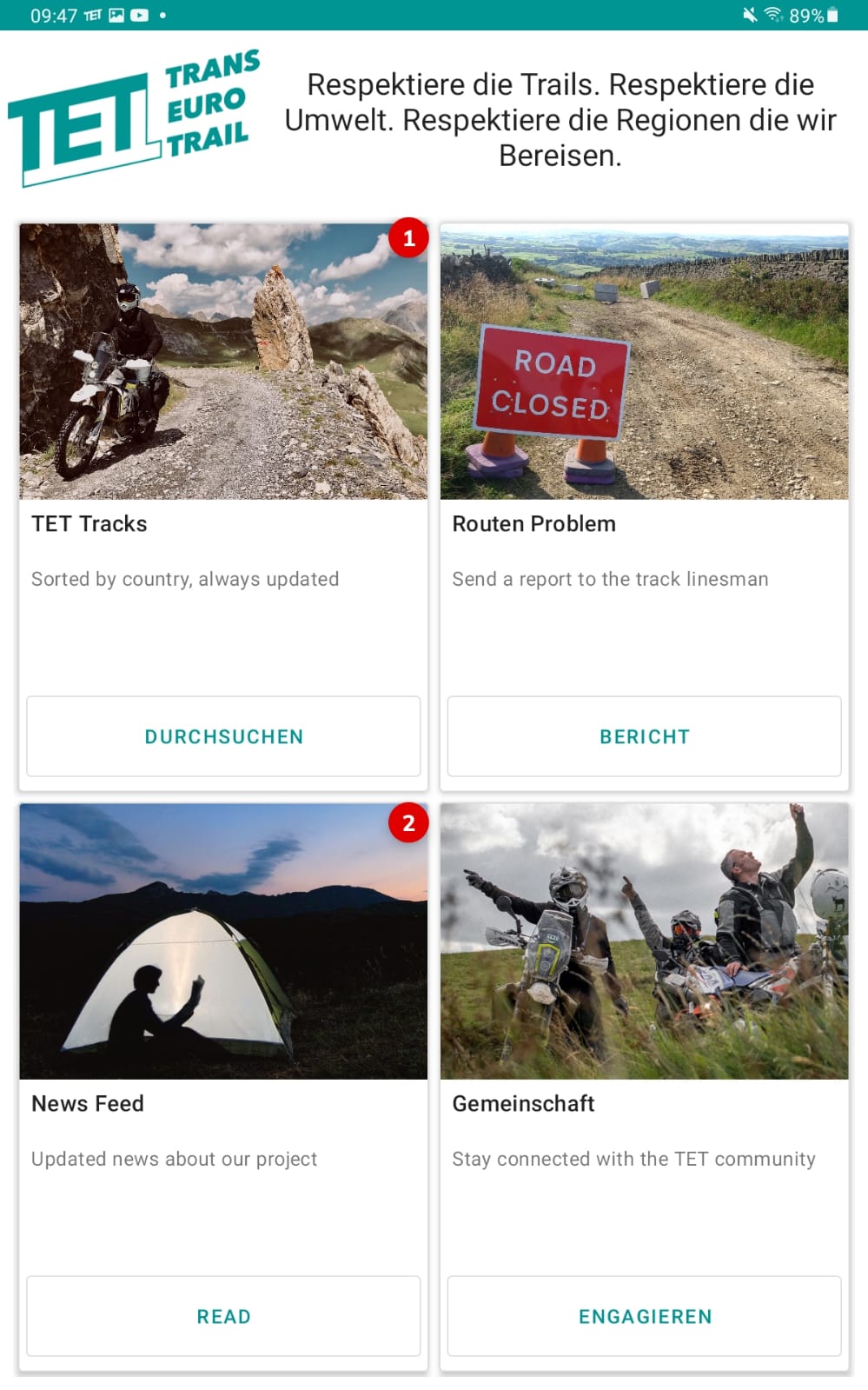
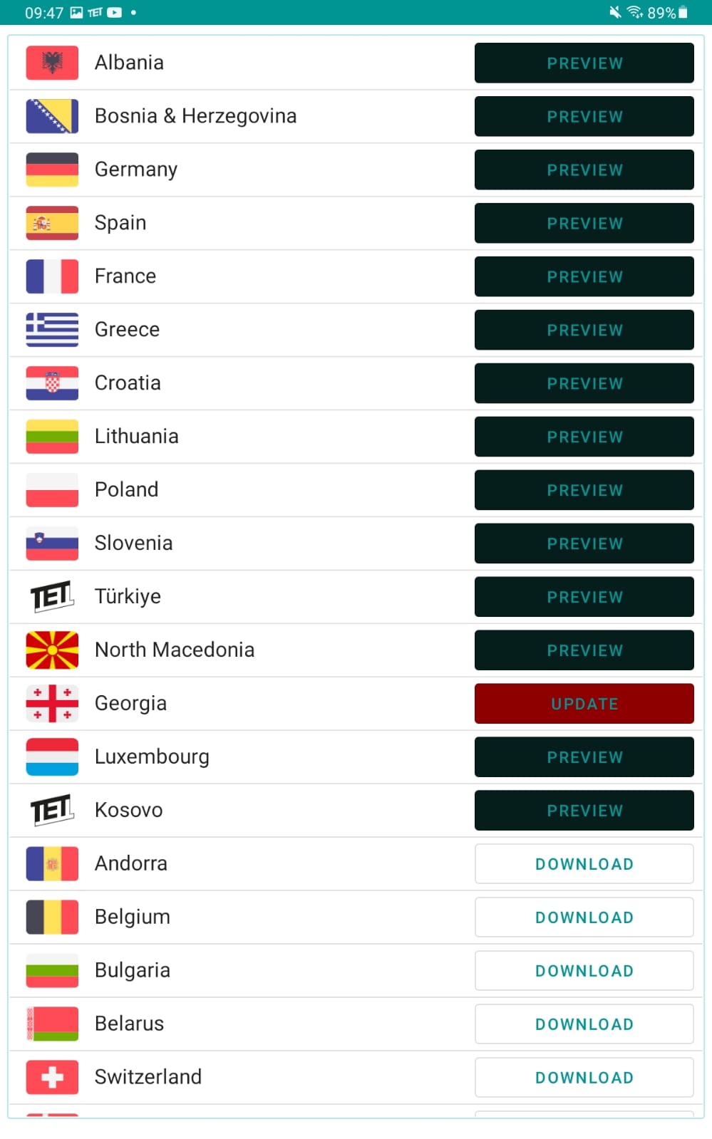
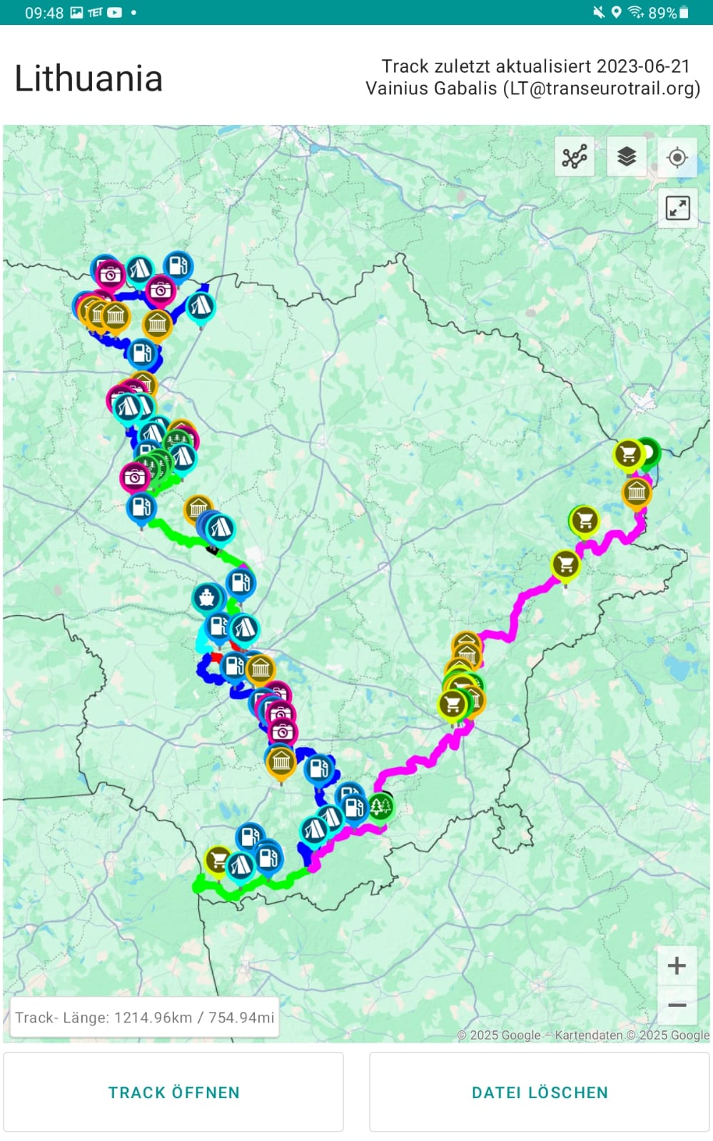
Trans Euro Trail app
The Trans Euro Trail is a community-based project of volunteers that currently covers over 100,000 km of tracks in many parts of Europe. The routes are designed for enduro riders, parts can be driven with a 4×4 too. The tracks are available in the Trans Euro Trail app. Note: the app is currently undergoing technical changes, so it can’t be downloaded for an indefinite period. The tracks are of course still available on the Trans Euro Trail project’s site.
Off-road
What is an off-road app? Well, we’ve called it that when the app helps you when driving off-road. There are these typical tilt gauges, which we’ve deliberately left out here, because what help are they supposed to offer? With these apps it’s rather the other way round. They don’t help you keep to the tilt-angle limit from the vehicle brochure, because that plays as good as no role. Too many factors influence the actually possible tilt angle, and special driving techniques help you judge when the limit has been reached. With a tilt app you can then only read off how far you’ve leaned.
So the impression could arise that there isn’t much left. And yet we’ve found an app that’s useful.
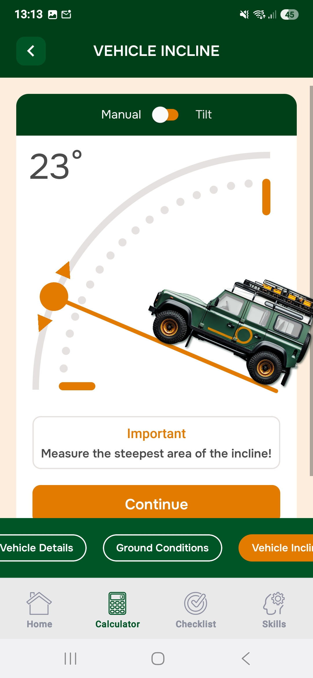
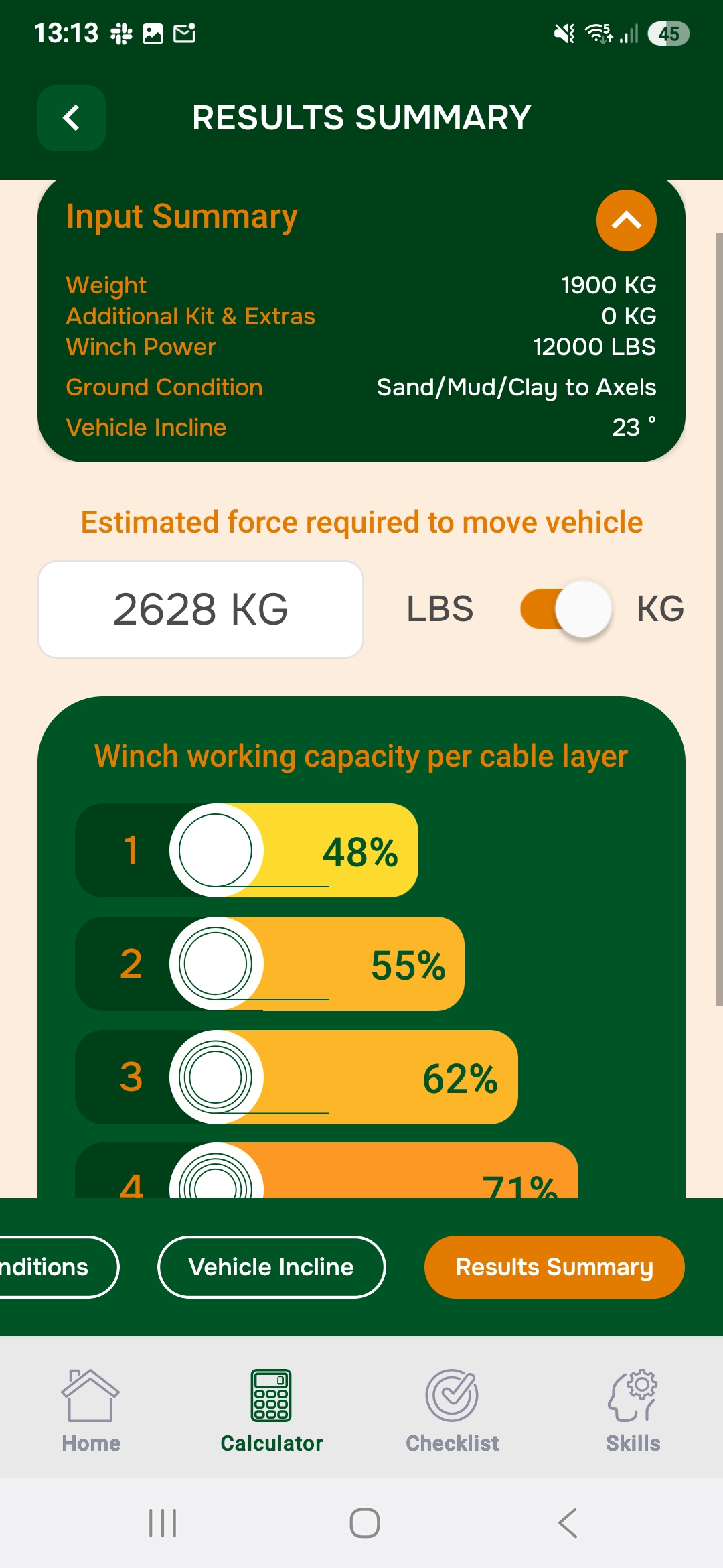
Winch app
In the Winch app you enter your vehicle and winch data: weight, extra weight, winch pulling force. Then you choose the surface and the gradient. As a result you get the approximate load the winch has to pull. In addition you get a figure for how many per cent of its force the winch has to use, depending on which rope layer it’s currently pulling on. There’s also a checklist you can go through before winching and a short guide on how to use your gear correctly.

What other useful off-road travel apps are there?
Classic office applications are often helpful on the road too, like a QR code scanner or apps that can turn photos of documents into a pdf, and much more. A currency converter can be useful too, depending on the travel region. A tripmaster app can help you on roadbook tours too and usefully rounds off the collection of off-road travel apps. These tripmaster apps don’t replace the tripmaster that’s part of the extra instruments, but for occasional use on tours it’s often enough.
Text: Andreas Woithon and Björn Eldracher